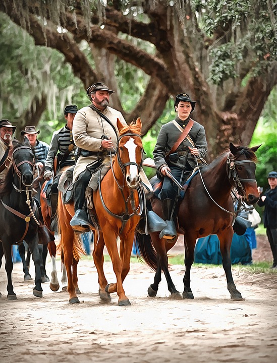
Confederate First Lieutenant Louis G. Young, aide to Brigadier General James J. Pettigrew, accompanied his commander on reconnaissance on June 30, 1863. They planned to search Gettysburg for shoes and other army supplies.
Major General Henry Heth, Pettigrew’s Division commander, ordered him not to attack any portion of the Army of the Potomac. If he encountered a home guard, he could drive them away easily.
While on his way to Gettysburg, a spy of General Longstreet’s warned Pettigrew that Brigadier General John Buford’s Federal cavalry division held the town.
Pettigrew sent a message to General Heth requesting instructions. Heth reiterated his previous orders yet expressed doubt that the Army of the Potomac was in the area. Pettigrew withdrew.
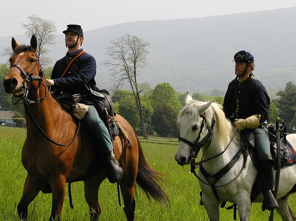
He left Young, his aide, and Lieutenant Walter H. Robertson in the rear to watch Buford’s Cavalry, who followed their retreat from a distance.
Young easily watched them follow on the rolling countryside. The two officers hid on ridges where they could see and not be seen until the Union cavalry was 300 to 400 yards away. Then the pair rode into the open. Union troops halted until the Confederate soldiers rode away before following again.
This happened several times. Both sides observed the other without attacking.
Pettigrew reported what he’d seen to Heth and to Lieutenant General A.P. Hill, the corps commander. Neither believed that their enemy was nearby in force.
They called in Young to question him. He verified that the troops he saw were well-trained.
They didn’t believe him either.
The two generals’ disbelief was so emphatic that Young doubted any of the other commanders believed Pettigrew—including General Archer, who led Heth’s Division with his Tennessee Brigade to Gettysburg the following morning, July 1st.
-Sandra Merville Hart
Sources
Gragg, Rod. The Illustrated Gettysburg Reader: An Eyewitness History of The Civil War’s Greatest Battle, Regnery History, 2013.