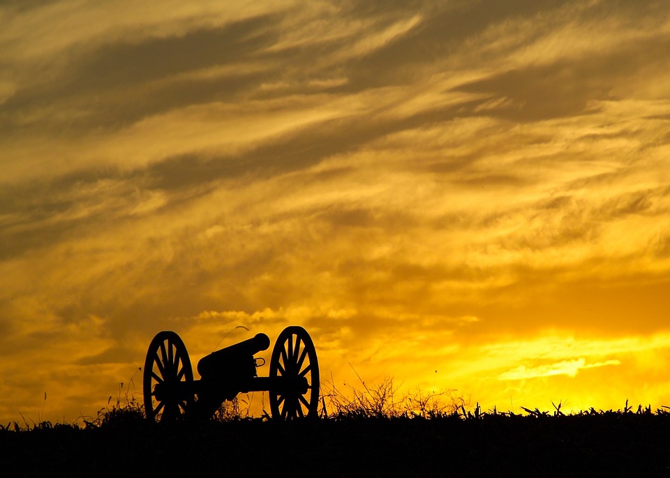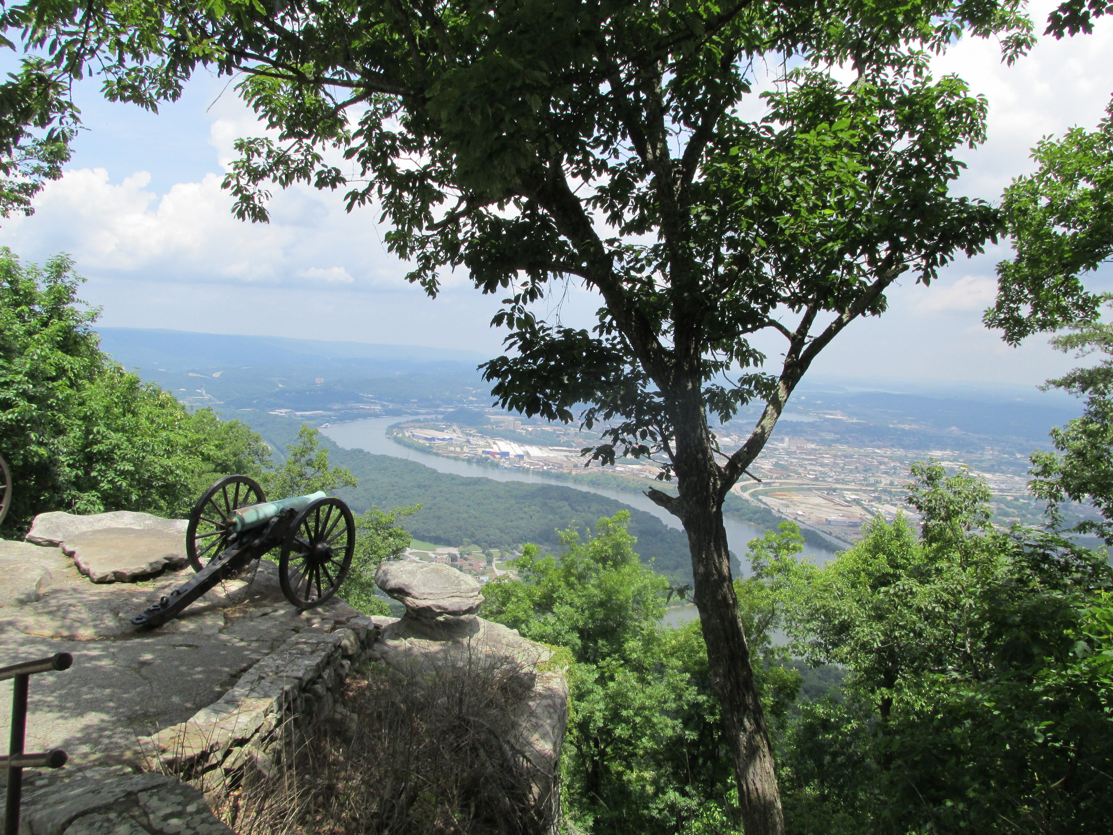
View of Confederate cannons by a rocky cliff with Tennessee River and Chattanooga in the background
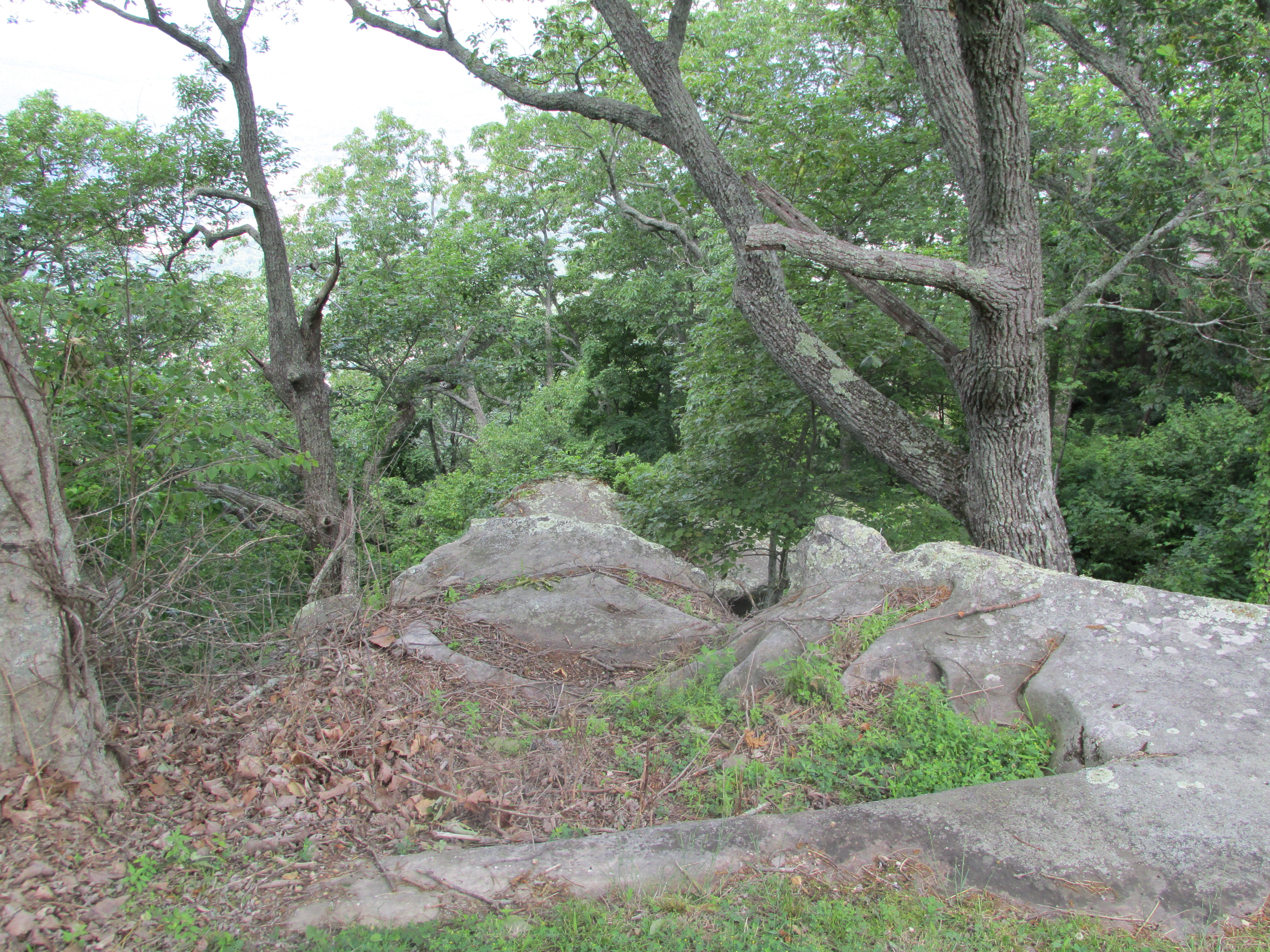
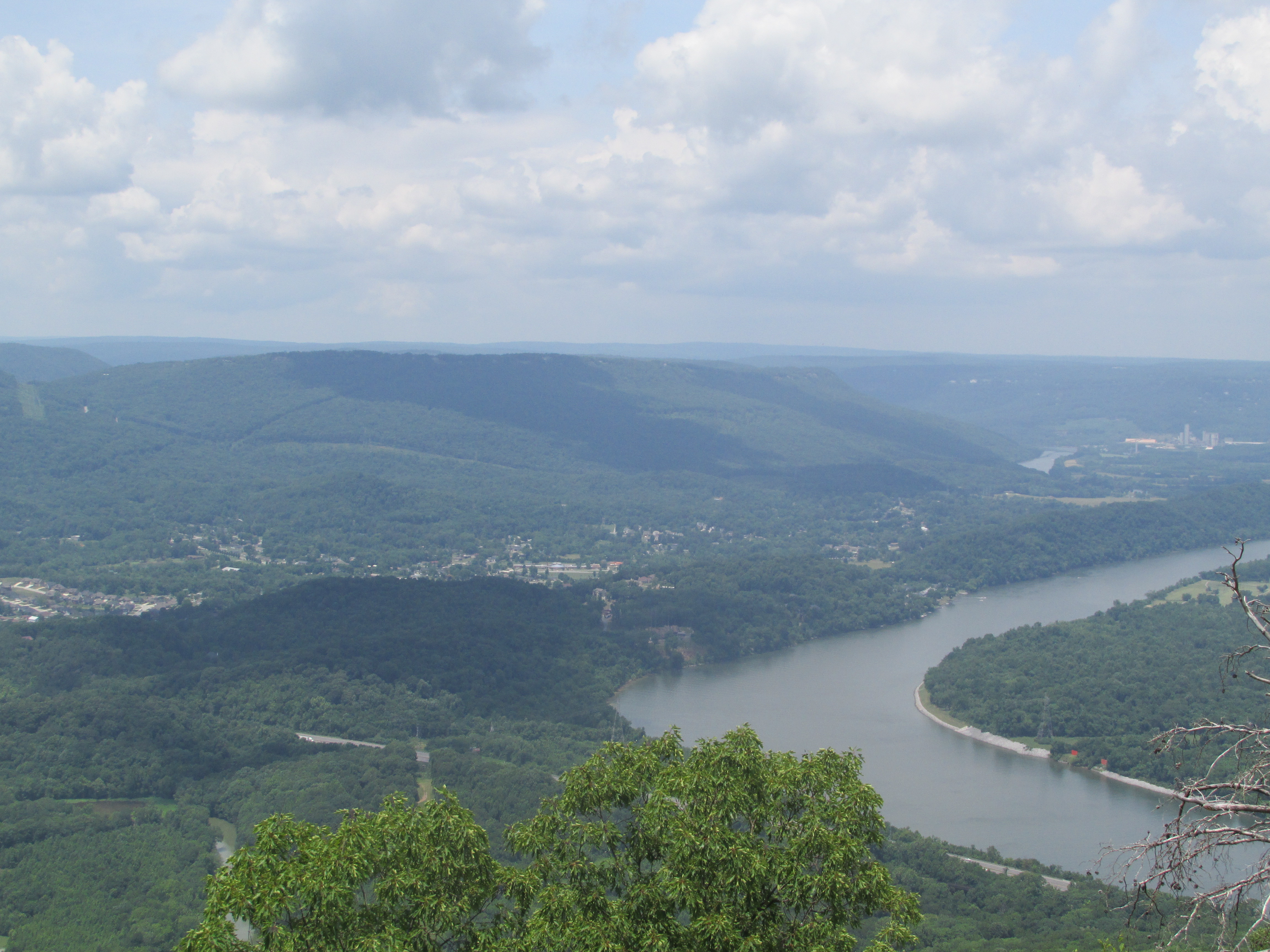
Rugged terrain at Point Park on Lookout Mountain
Rain fell in the predawn hours of November 24th. Union General Hooker sent Geary’s Division and Whitaker’s brigade of the 4th Corps to climb Lookout Mountain and attack Confederate soldiers there.
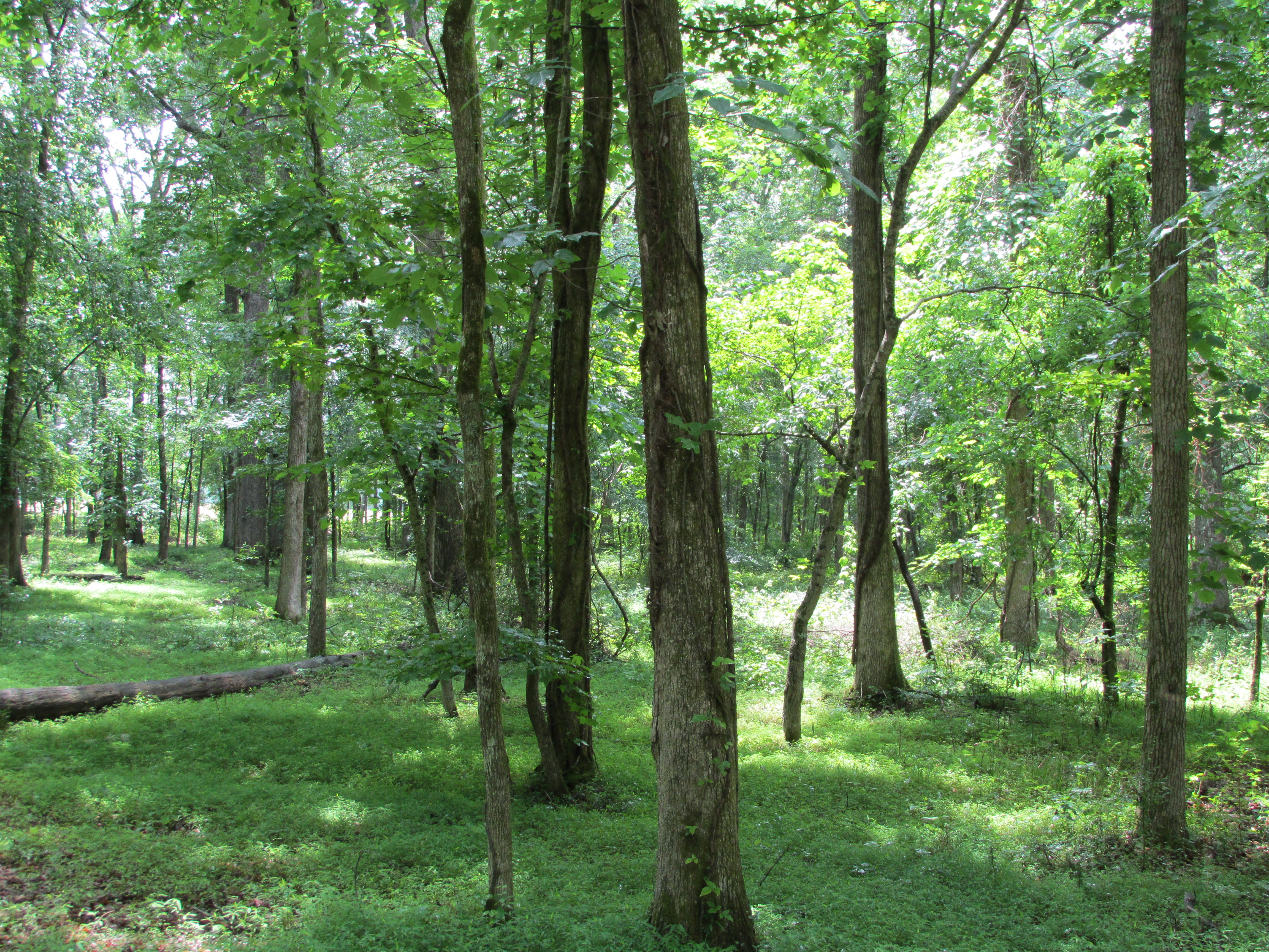
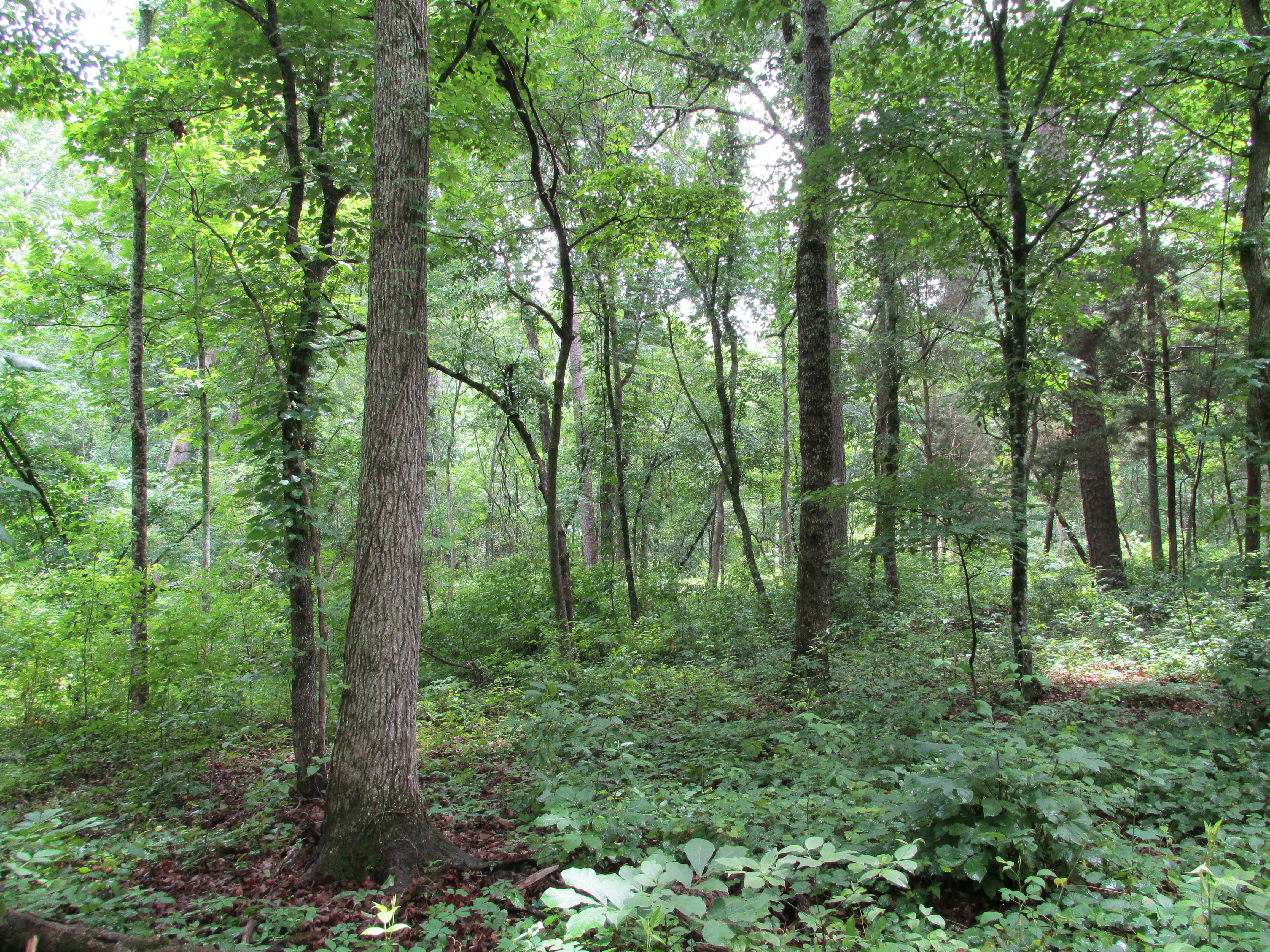
They climbed over and around boulders, loose stones, bushes, vines, and thickets of dense timber, going northward along the base of the almost vertical cliff in a dense fog to meet up with Osterhaus’s division.
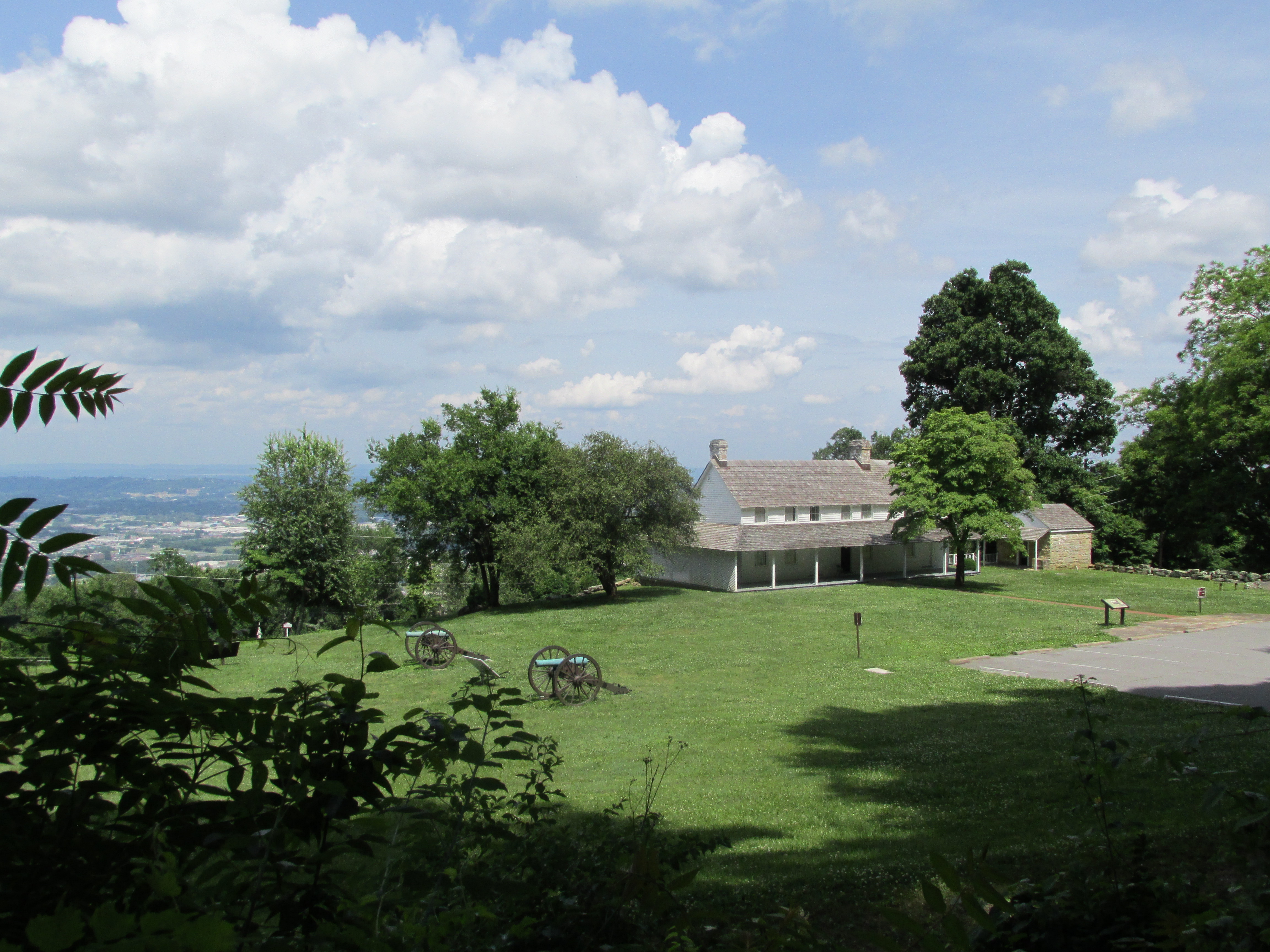
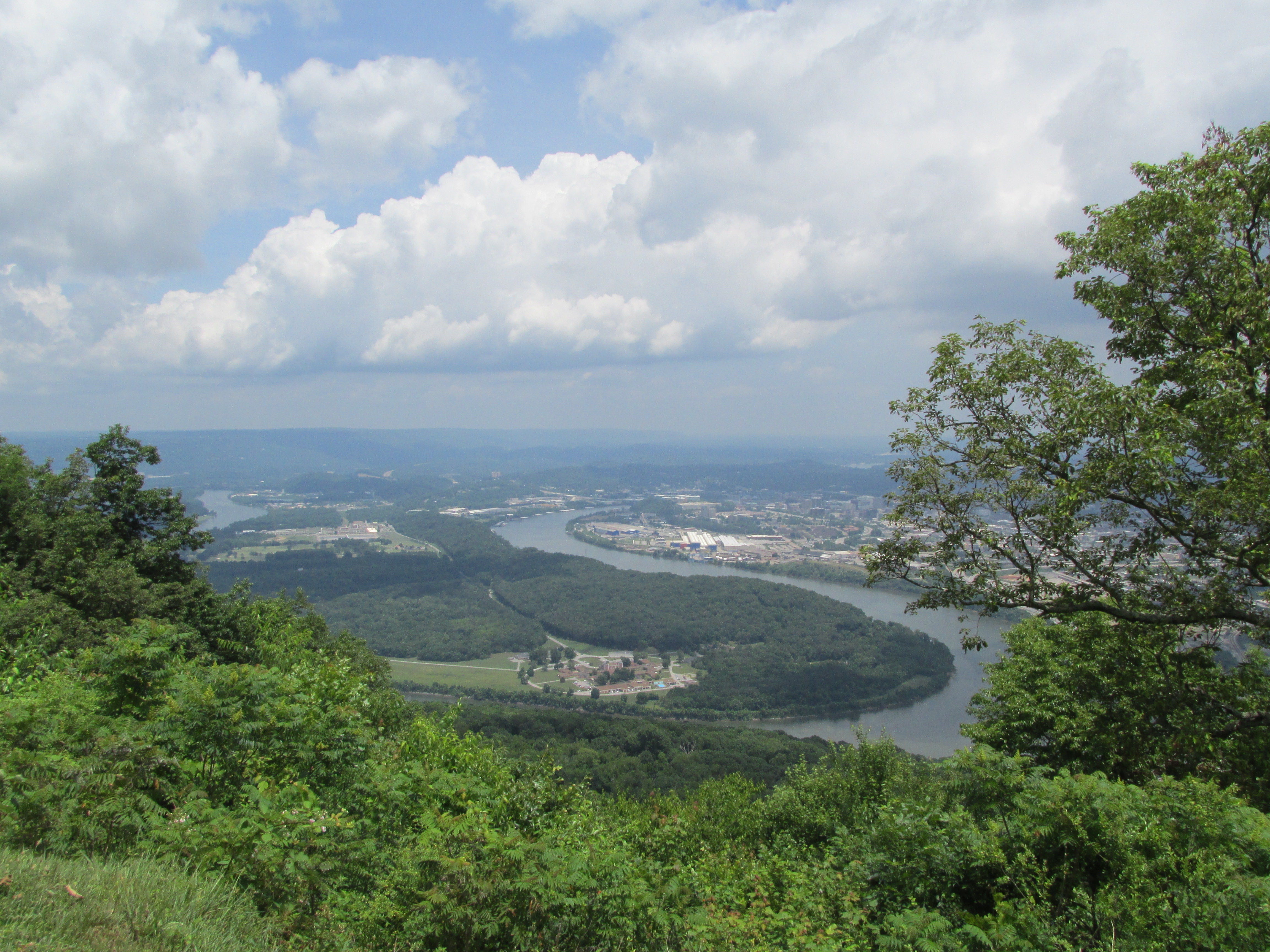
View of Cravens House with Chattanooga in the background
About 10 a.m., Union troops met Confederate troops at Cravens farm where sharp fighting took place. After 3 hours of fighting, Confederates were driven about 400 yards east of Cravens farm. Southern reinforcements arrived about 1 p.m. with additional troops coming thirty minutes later.
 Persistent fog hastened the darkness. At dusk, the clouds blew away. It revealed, in the words of Lieutenant Colonel Joseph S. Fullerton, General Gordon Granger’s chief of staff, “parallel fires of the two armies, extending from the summit of the mountain to its base, looking like streams of burning lava, while in between, the flashes from the skirmishers’ muskets glowed like giant fireflies.”
The battle on Lookout Mountain is also known as The Battle Above the Clouds for the heavy fog that partially covered the mountain.

After the war ended, this photo shows the Reconstruction in Chattanooga.
The rain that fell in the afternoon turned partially to sleet in the higher elevations. An Ohio sergeant wrote the sleet “felt sharp as needles to our faces.”
During the cold night, the sky cleared. Shadows crossed the moon in an eclipse, sending chills down the spine of many watching that had nothing to do with the weather. It was viewed as a bad omen. Private Ralph J. Neal of the Confederate 20th Tennessee and his friends were stricken with a sense of “impending disaster.” The eclipse also gave many of Hooker’s soldiers an eerie feeling.
I’ve written an inspirational Civil War romance, A Stranger On My Land, set on Lookout Mountain, Tennessee. Please read the Prologue to learn Adam’s story and how the wounded Union soldier ends up on Carrie’s property, whose father fights with General Robert E. Lee’s army in Virginia.
Chapter one begins on Lookout Mountain the day after the Battle Above the Clouds.
-Sandra Merville Hart
Sources
Korn, Jerry. The Fight for Chattanooga: Chickamauga to Missionary Ridge, Time-Life Books, 1985.
Sword, Wiley. Mountains Touched with Fire: Chattanooga Besieged, 1863, St. Martin’s Press, 1995.
Woodworth, Steven E. Six Armies in Tennessee: The Chickamauga and Chattanooga Campaigns, University of Nebraska Press, 1998.